

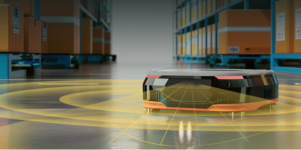
Warehouse AMRs
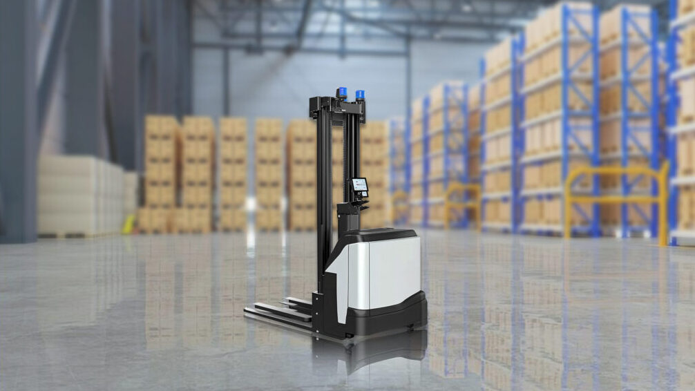
Autonomous Forklifts
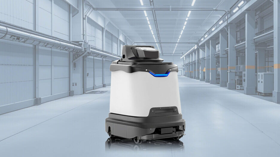
Commercial Service Robots

Open-source SDK with Support for ROS1/ROS2

Supports Development in Windows/Linux Environments

Professional Technical Team for Development Support
Open-source SDK with Support for ROS1/ROS2
Supports Development in Windows/Linux Environments
Professional Technical Team for Development Support